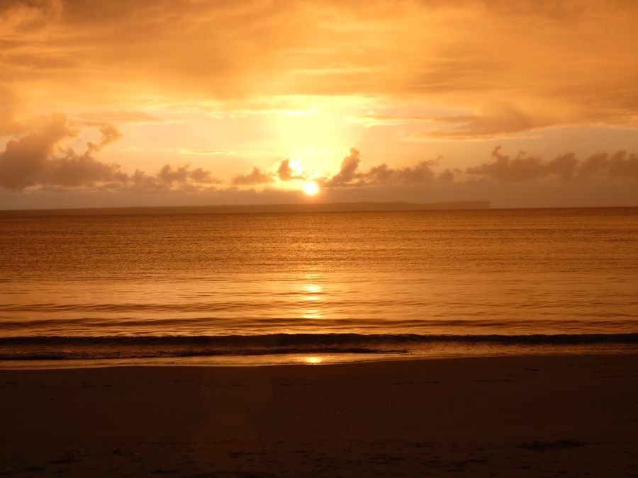
- Duration
- about 2 km on foot, 1.5 hours (≈ 2 h 8 min: moving and stop time only)
- Who it suits
- Everyone
- Transport
- walk
- Start
- Huskisson Beach
- Finish
- Collingwood Beach
- Pace
- relaxed pace
- Best time
- morning, low tide is easier with children
- Budget per adult
- freePrices as of: 13 October 2026
Getting there
Park near Hawke Street in Huskisson and walk south. This is the start of the Round the Bay track. There is no train: allow about 3 hours by car from Sydney.
Stops in order
The text version of the route: stops, time at each and the legs between them. Times are estimates, without queues, traffic or swims.
1. Huskisson Beach~40 min at the stop
The Round the Bay track starts at Hawke Street: the beach, the shark net and the bay. The full track continues to Plantation Point. This route is the shorter version and turns around at Collingwood Beach.
Worth knowing: The Sydney ferry Lady Denman was built right here on Currambene Creek: her hull was launched on 5 December 1911. Retired in 1979, she came back to Huskisson and now sits in the Jervis Bay Maritime Museum.
Tip: Whales pass the bay from May to November. Swim between the flags when a patrol is on duty.
Open on the map ↗↓ walk · 8 min · 0.4 km
2. Moona Moona Creek~30 min at the stop
A shallow creek mouth by the bridge, a free family beach with barbecues. The picnic address is 19 Beach Street, Huskisson.
Tip: With small children, low tide is the time to come: the creek is shallow. Stay out of the open bay when nobody is on patrol.
Open on the map ↗↓ walk · 20 min · 1.5 km
3. Collingwood Beach~30 min at the stop
The long white beach at Vincentia, on the same track, with White Sands Park beside it. The whole curve of the bay back to Huskisson is in view.
Tip: If you still have the legs, the track continues past the Vincentia shops to Plantation Point. For the short walk, turn around here.
Open on the map ↗
Before you go
- Route times are estimates: walking, driving and a sensible pause at each stop. Add queues, traffic and swims yourself.
- Prices, timetables and trail status change. Check the venue's official site and the state transport app before you go.
- On beaches, swim only between the red and yellow flags. Use sun protection even when it is cloudy.