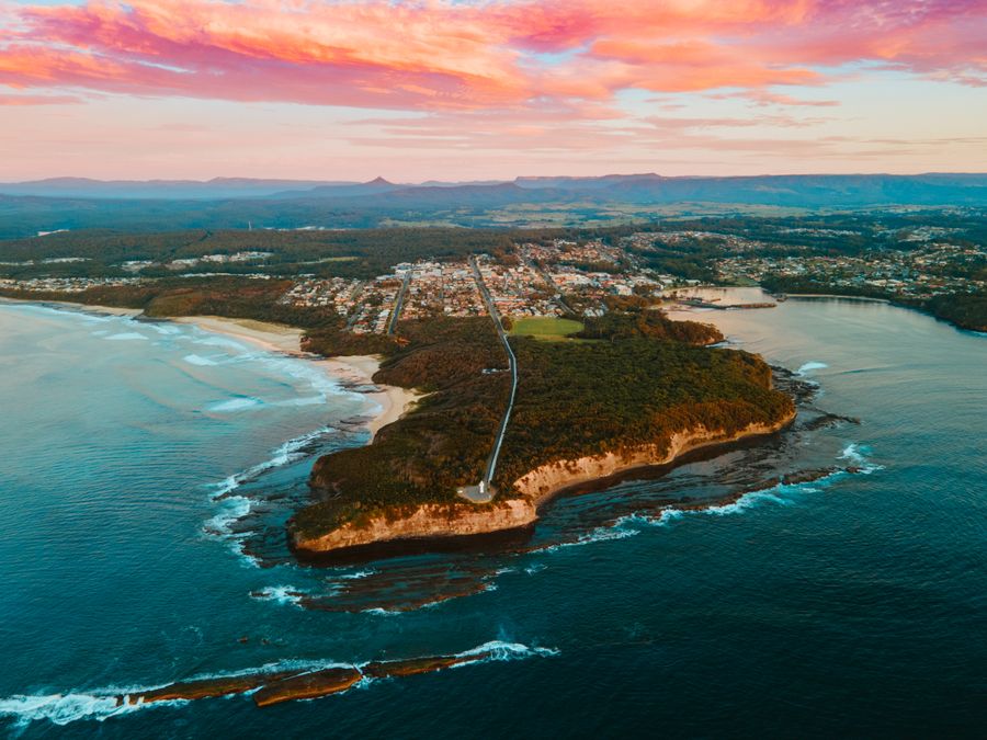
- Duration
- a driving day between three towns (≈ 4 h 13 min: moving and stop time only)
- Who it suits
- Everyone
- Transport
- drive
- Start
- Huskisson waterfront
- Finish
- Ulladulla Harbour
- Pace
- relaxed pace
- Best time
- breakfast in Huskisson, a booking in Mollymook, fish at the harbour
Getting there
There is no train to the bay. Drive from Sydney: allow about 3 hours to Huskisson, a little longer to Mollymook, and further again to Pebbly Beach toward Batemans Bay.
Stops in order
The text version of the route: stops, time at each and the legs between them. Times are estimates, without queues, traffic or swims.
1. Huskisson waterfront~1 h 10 min at the stop
Cafes and tables on the sand at Huskisson Beach. This is the north end of the food day. The next meals are in Mollymook and Ulladulla.
Worth knowing: The Sydney ferry Lady Denman was built right here on Currambene Creek: her hull was launched on 5 December 1911. Retired in 1979, she came back to Huskisson and now sits in the Jervis Bay Maritime Museum.
Tip: Have breakfast here while the car park is still free, then head south on the Princes Highway.
Open on the map ↗↓ drive · 35 min · 40 km
2. Rick Stein at Bannisters~1 h 30 min at the stop
Lunch or dinner on the south headland of Mollymook, 191 Mitchell Parade. Rick Stein's restaurant is still at the Bannisters hotel.
Tip: You need a booking. Check the day's hours on bannisters.com.au, phone (02) 4455 3044. The map pin is on Mitchell Parade, so enter the street number separately.
Open on the map ↗↓ drive · 8 min · 3 km
3. Ulladulla Harbour~50 min at the stop
A working harbour just south of Mollymook: trawlers at the wharf and a sea wall where people eat takeaway fried fish. The fishing fleet is run by Italian families who moved here in the 1930s.
Worth knowing: The fleet has been blessed every Easter since 1956. The tradition came from Sicily with the Italian fishing families, who moved here with their trawlers from Wollongong in 1937.
Tip: Get a takeaway portion and sit facing the boats. A table inside is optional.
Open on the map ↗
Before you go
- Route times are estimates: walking, driving and a sensible pause at each stop. Add queues, traffic and swims yourself.
- Prices, timetables and trail status change. Check the venue's official site and the state transport app before you go.
- On beaches, swim only between the red and yellow flags. Use sun protection even when it is cloudy.