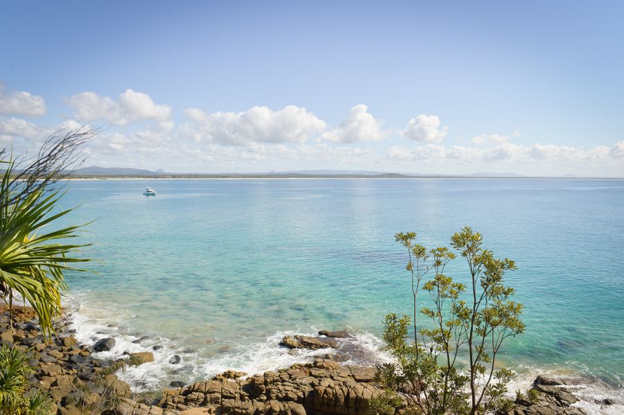
- Duration
- about 1.2 km one way on the park's own measure (≈ 2 h 10 min: moving and stop time only)
- Who it suits
- Everyone
- Transport
- walk
- Start
- Noosa Surf Club
- Finish
- Dolphin Point
- Pace
- moderate pace
- Best time
- morning, while the track still has shade
- Budget per adult
- freePrices as of: 13 October 2026
Getting there
Bus 622 from Sunshine Coast Airport to Noosa Junction, about hourly, 50 cents. Then walk or take a local bus to Hastings Street and the club at Main Beach. The official track start is the Noosa Headland day-use area, just inside the park gate.
Stops in order
The text version of the route: stops, time at each and the legs between them. Times are estimates, without queues, traffic or swims.
1. Noosa Surf Club~20 min at the stop
The club on Main Beach, the practical start before the national park gate. The park's full Coastal Walk is 10.8 km return, about 4 hours, grade 4, and it can continue to Sunshine Beach, 5.4 km one way.
Tip: Boiling Pot is 300 m from the day-use area, class 1, sealed and barrier-free. From the club, allow a little more: the beach comes first, then the gate.
Open on the map ↗↓ walk · 20 min · 1.2 km
2. Boiling Pot~15 min at the stop
The first lookout on the track, 300 m from the day-use area. This section is even and suitable for a stroller.
Worth knowing: Settlers set the land aside as a reserve back in 1879, and it officially became a national park in 1939.
Tip: On to Dolphin Point the surface is still sealed, with short gradients steeper than 1:10.
Open on the map ↗↓ walk · 15 min · 0.7 km
3. Tea Tree Bay~20 min at the stop
A small bay on the track between Boiling Pot and Dolphin Point.
Tip: This is not a patrolled beach. The family swim stays at Main Beach, between the flags.
Open on the map ↗↓ walk · 15 min · 0.6 km
4. Dolphin Point~25 min at the stop
1.2 km one way from the day-use area, class 3, sealed. Koalas live in the trees above the track. Dogs and bikes are prohibited in the park.
Tip: Hell's Gates is the next headland, 2.7 km one way from the day-use area. After Dolphin Point the track is unsealed and has steps, so it is no longer suitable for strollers. Alexandria Bay is further, unpatrolled, and many people swim there without clothes.
Open on the map ↗
Before you go
- Route times are estimates: walking, driving and a sensible pause at each stop. Add queues, traffic and swims yourself.
- Prices, timetables and trail status change. Check the venue's official site and the state transport app before you go.
- On beaches, swim only between the red and yellow flags. Use sun protection even when it is cloudy.