- Duration
- a day by B-Line bus or car (≈ 2 h 37 min: moving and stop time only)
- Who it suits
- Everyone
- Transport
- drive
- Start
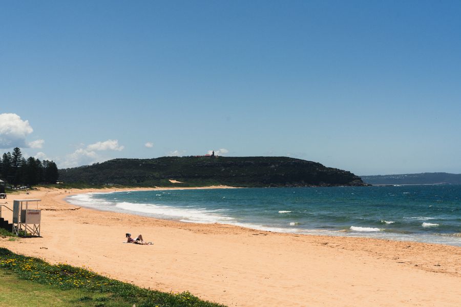
- Bilgola Beach
- Finish
- Governor Phillip Park
- Pace
- moderate pace
- Best time
- morning, while the car park still has space
- Budget per adult
- paid parking at Governor Phillip Park; no national park entry fee at this spotPrices as of: July 2026; transport and zoo prices October 2026
Getting there
The B-Line bus reaches Palm Beach. The lookout at Governor Phillip Park is easier by car, and that parking is paid.
Stops in order
The text version of the route: stops, time at each and the legs between them. Times are estimates, without queues, traffic or swims.
1. Bilgola Beach~40 min at the stop
The cove between Avalon and Newport, where the northern beaches swim. The lighthouse is a short coast road further on.
Tip: Swim between the flags when a patrol is on. The B-Line bus continues to Palm Beach.
Open on the map ↗↓ drive · 12 min · 9 km
2. Palm Beach Wharf~20 min at the stop
The wharf at the base of Palm Beach. A ferry crosses Pittwater from here. The lighthouse park is the last stop, on the headland.
Tip: Lunch at Barrenjoey House, 1108 Barrenjoey Road: it takes both bookings and walk-ins, but the official website currently shows no hours, so call ahead. Then it is five more minutes by car or bus to Governor Phillip Park.
Open on the map ↗↓ drive · 5 min · 1.5 km
3. Governor Phillip Park~1 h 20 min at the stop
The car park at the foot of Barrenjoey. Two tracks lead up to the 1881 lighthouse, built from sandstone quarried on the headland: the Barrenjoey track, about 1 km (roughly 30 minutes each way), and the steeper, shorter Smugglers track. Leave the car here: there is no road to the tower.
Tip: The lighthouse interior is open only on NPWS guided tours on Sundays. Parking is paid. Skip the climb in strong wind, heavy rain or extreme heat.
Open on the map ↗
Before you go
- Route times are estimates: walking, driving and a sensible pause at each stop. Add queues, traffic and swims yourself.
- Prices, timetables and trail status change. Check the venue's official site and the state transport app before you go.
- On beaches, swim only between the red and yellow flags. Use sun protection even when it is cloudy.