- Duration
- about 1.7 km on foot (≈ 2 h 20 min: moving and stop time only)
- Who it suits
- Everyone
- Transport
- walk
- Start
- Ocean Beach Road
- Finish
- Sorrento Pier
- Pace
- relaxed pace
- Best time
- morning, while the Ocean Beach Road parking is still free
- Budget per adult
- the walk is freePrices as of: 13 October 2026
Getting there
Park by Ocean Beach Road and walk toward the bay. Bus 788 from Frankston stops in the village. The pin sits on the shopping street itself.
Stops in order
The text version of the route: stops, time at each and the legs between them. Times are estimates, without queues, traffic or swims.
1. Ocean Beach Road~40 min at the stop
Sorrento's main shopping street: coffee, small shops and the way down to the bay. The pin sits on the street itself.
Tip: Start with coffee here. The next two stops are on foot along the water.
Open on the map ↗↓ walk · 10 min · 0.6 km
2. The Baths~50 min at the stop
The restaurant on the front beach, at 3278 Point Nepean Road. You can sit looking over the bay, or just walk the foreshore.
Worth knowing: In 1803 the first European camp in what became Victoria landed at Sullivan Bay, beside today's Sorrento. It was abandoned in 1804. The limestone village came later.
Tip: For lunch, book a table on thebaths.com.au. Check that day's hours on the same site.
Open on the map ↗↓ walk · 15 min · 1.1 km
3. Sorrento Pier~25 min at the stop
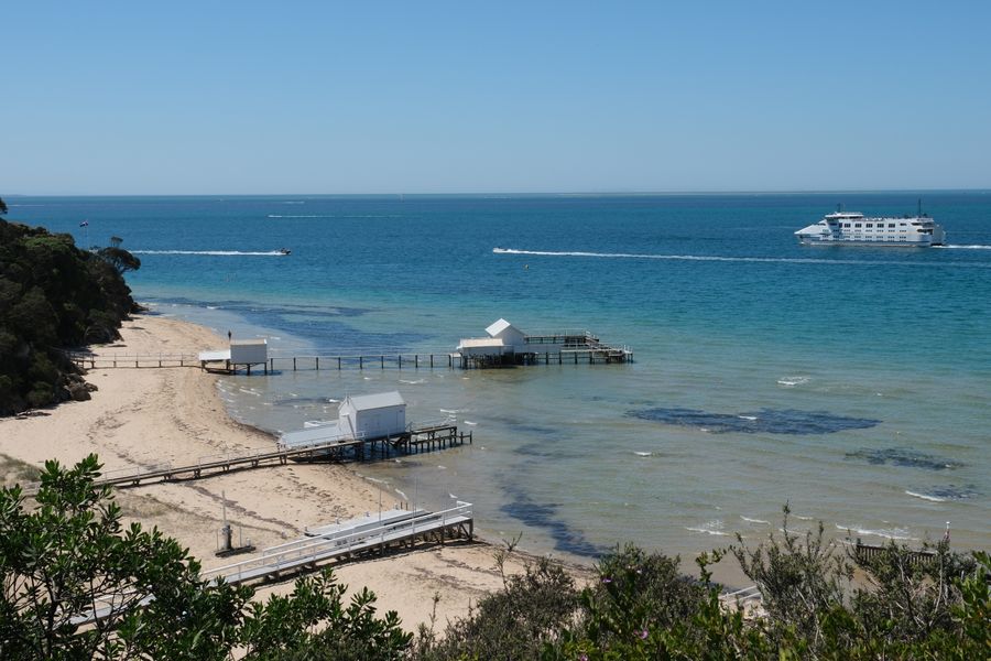
The bay pier. The water here is calmer than the ocean beach over the hill. The Queenscliff ferry passes in view.
Tip: With children, stay on this side of the bay. Sorrento's ocean beach faces Bass Strait, and the surf is a different matter.
Open on the map ↗
Before you go
- Route times are estimates: walking, driving and a sensible pause at each stop. Add queues, traffic and swims yourself.
- Prices, timetables and trail status change. Check the venue's official site and the state transport app before you go.
- On beaches, swim only between the red and yellow flags. Use sun protection even when it is cloudy.