- Duration
- a driving day, ~45 km from Burleigh (≈ 3 h 32 min: moving and stop time only)
- Who it suits
- Everyone
- Transport
- drive
- Start
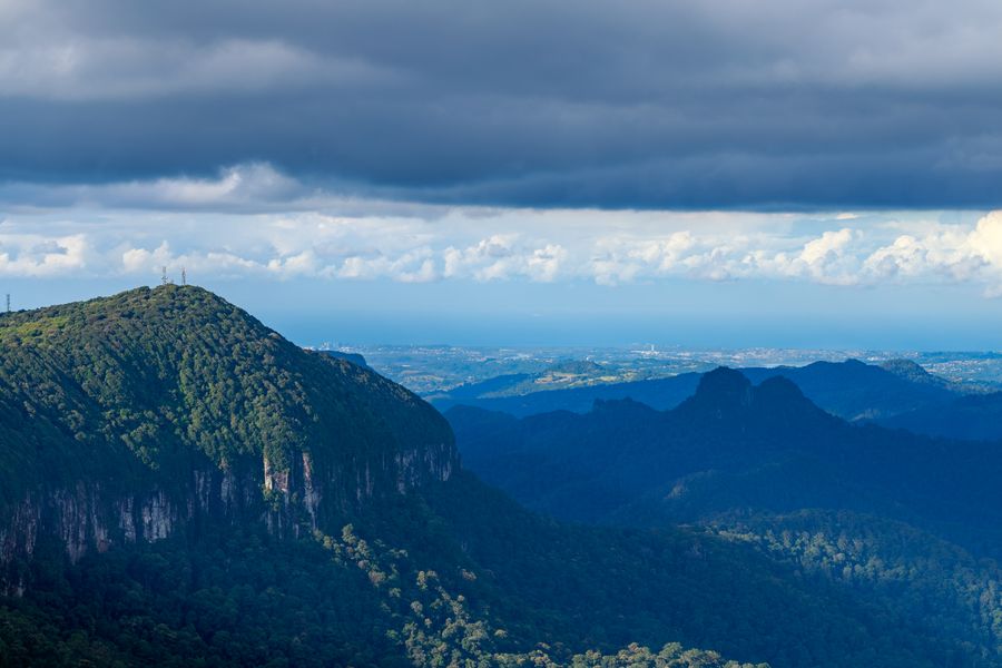
- Best of All Lookout
- Finish
- Natural Bridge
- Pace
- moderate pace
- Best time
- a clear morning; glow-worms after dark at Natural Bridge
- Budget per adult
- fuel, park entry is freePrices as of: July 2026; transport and zoo prices October 2026
Getting there
Go by car. Drive the mountain road back slowly after dark.
Stops in order
The text version of the route: stops, time at each and the legs between them. Times are estimates, without queues, traffic or swims.
1. Best of All Lookout~35 min at the stop
A short walk among ancient beech trees. On a clear day you see the sea, and it is a more honest view than any tower on the coast.
Worth knowing: This is Springbrook's only stand of cool temperate rainforest, and some of the Antarctic beeches by the lookout are about 3,000 years old. The park is part of the UNESCO Gondwana Rainforests of Australia.
Tip: The plateau is cold and damp even in summer. You want a jacket.
Open on the map ↗↓ drive · 12 min · 8 km
2. Purling Brook Falls~1 h 30 min at the stop
A circuit down to a waterfall in rainforest. The base and the lip are closed. Rockfall. Stay on the track.
Tip: The full circuit is about 4 km. If a section is under repair, go to the lookout and return the same way.
Open on the map ↗↓ drive · 25 min · 16 km
3. Natural Bridge~50 min at the stop
A cave, a waterfall from above and glow-worms. You can do it at night without a group, if you skip the flash and stay out of the creek.
Worth knowing: The waterfall on Cave Creek, a tributary of the Nerang River, wore the arch through the basalt. The cave beneath holds one of Australia's largest glow-worm colonies.
Tip: Walk the circuit by day. If you stay for the worms, arrive at dusk and drive the mountain road back slowly.
Open on the map ↗
Before you go
- Route times are estimates: walking, driving and a sensible pause at each stop. Add queues, traffic and swims yourself.
- Prices, timetables and trail status change. Check the venue's official site and the state transport app before you go.
- On beaches, swim only between the red and yellow flags. Use sun protection even when it is cloudy.