- Duration
- 2.5 km on foot (≈ 2 h 45 min: moving and stop time only)
- Who it suits
- Everyone
- Transport
- walk
- Start
- Q1 / SkyPoint
- Finish
- Cavill Ave & Beachfront Markets
- Pace
- relaxed pace
- Best time
- Wed, Fri or Sat towards sunset: so you finish at the night market
- Budget per adult
- The walk is free; the SkyPoint deck is ticketedPrices as of: July 2026; transport and zoo prices October 2026
Getting there
G:link tram to Surfers Paradise. 50 cents, paid with a bank card.
Stops in order
The text version of the route: stops, time at each and the legs between them. Times are estimates, without queues, traffic or swims.
1. Q1 / SkyPoint~1 h at the stop
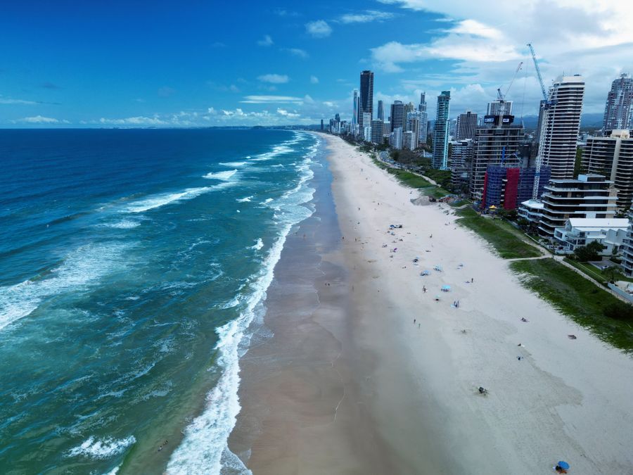
The observation deck atop the Q1 tower: the lift climbs to level 77, 230 metres above the beach, with the whole coast from the Spit to Burleigh laid out below.
Worth knowing: Q1 opened in 2005. At 322.5 metres it was then the world's tallest residential tower. SkyPoint is the deck on level 77.
Tip: SkyPoint is open until 21:00, so sunset works too. Online tickets are usually cheaper than at the door; on a clear day you can see the hinterland ranges.
Open on the map ↗↓ walk · 7 min · 0.5 km
2. Surfers Paradise sign~10 min at the stop
The arch where Cavill Ave meets the sand the city's photo icon since the 1950s.
Worth knowing: Jim Cavill named his hotel Surfers Paradise in 1933. The suburb and Cavill Avenue took the name from that pub.
Tip: The sign is quietest early morning; it's nicely lit after dark.
Open on the map ↗↓ walk · 6 min · 0.5 km
3. Esplanade to Elkhorn Ave~30 min at the stop
The beachfront promenade along the patrolled sand: surfers, joggers and a wall of towers rising straight from the dunes.
Tip: Swim only between the red-and-yellow flags: the rips here are serious.
Open on the map ↗↓ walk · 7 min · 0.5 km
4. Cavill Ave & Beachfront Markets~45 min at the stop
The pedestrian heart of Surfers. And on Wed, Fri and Sat from 4 to 9pm, a beachside artisan market that's run since 1995.
Worth knowing: The markets line the Esplanade that Jim Cavill's 1933 hotel put on the map as Surfers Paradise.
Tip: Buskers gather here after sunset: a fitting end to the walk.
Open on the map ↗
Before you go
- Route times are estimates: walking, driving and a sensible pause at each stop. Add queues, traffic and swims yourself.
- Prices, timetables and trail status change. Check the venue's official site and the state transport app before you go.
- On beaches, swim only between the red and yellow flags. Use sun protection even when it is cloudy.