- Duration
- a short driving day over the state border (≈ 2 h 2 min: moving and stop time only)
- Who it suits
- Everyone
- Transport
- drive
- Start
- Fingal Head
- Finish
- Kingscliff Beach
- Pace
- relaxed pace
- Best time
- morning on the headland, a swim while the flags are up
- Budget per adult
- freePrices as of: July 2026; transport and zoo prices October 2026
Getting there
Go by car. Fingal Head and the Kingscliff flags are a short drive apart.
Stops in order
The text version of the route: stops, time at each and the legs between them. Times are estimates, without queues, traffic or swims.
1. Fingal Head~50 min at the stop
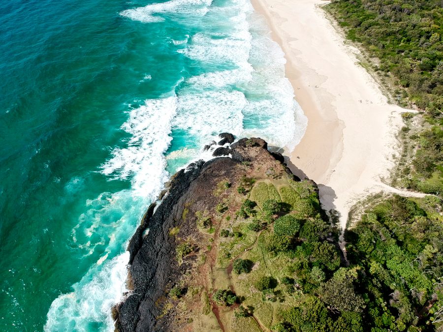
The lighthouse, basalt columns and a short forest walk to the lookouts. Cook Island sits offshore. The beach under the cliff is not part of the route.
Worth knowing: The interlocking basalt columns on the north-east side were nicknamed the Giants Causeway, after Ireland's. And historians argue Fingal Head is the point Cook actually named Point Danger in 1770, though the name later went to the Coolangatta headland.
Tip: Dreamtime Beach is unpatrolled, and several people have drowned there in the last decade. Look from above. The swim is the next stop.
Open on the map ↗↓ drive · 12 min · 8 km
2. Kingscliff Beach~1 h at the stop
The town beach just over the border. A creek at the south end, where the water is calmer. The ocean itself only between the flags.
Tip: If the flags are down, stay out. Coffee on Marine Parade, then the highway back to the Gold Coast.
Open on the map ↗
Before you go
- Route times are estimates: walking, driving and a sensible pause at each stop. Add queues, traffic and swims yourself.
- Prices, timetables and trail status change. Check the venue's official site and the state transport app before you go.
- On beaches, swim only between the red and yellow flags. Use sun protection even when it is cloudy.