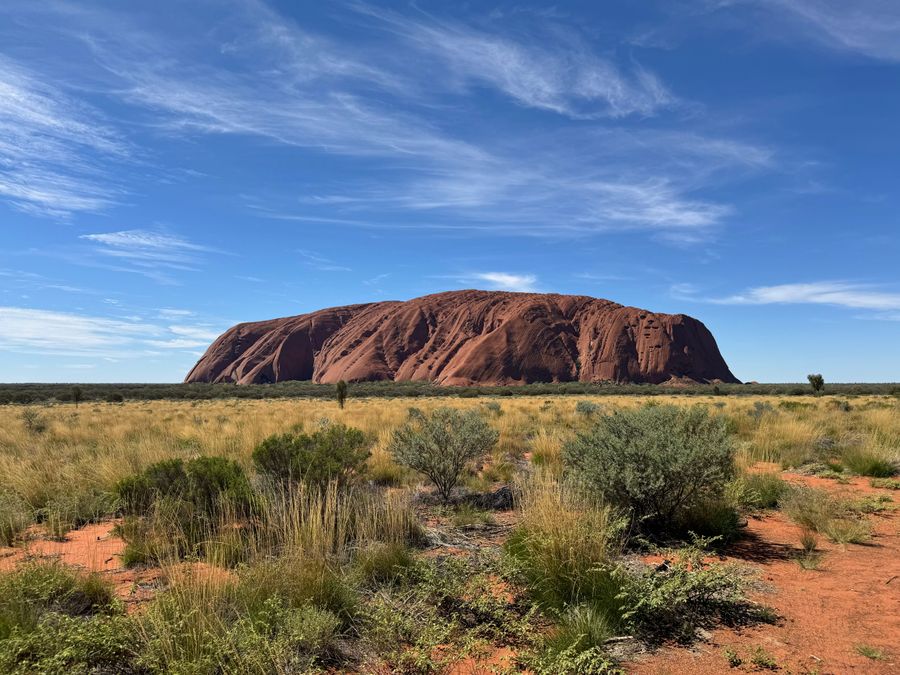
- Duration
- 10.6 km loop, about 3.5 h (≈ 4 h 10 min: moving and stop time only)
- Who it suits
- Everyone
- Transport
- walk
- Start
- Mala car park
- Finish
- Lungkata Walk
- Pace
- moderate pace
- Best time
- at first light; in hot weather finish before 11:00
- Budget per adult
- park pass only: A$38 for 3 days, free under 18Prices as of: October 2026
Getting there
Fly into Ayers Rock Airport (AYQ): Qantas, Jetstar and Virgin fly direct from Sydney, Melbourne, Brisbane and Cairns. Ayers Rock Resort hotel guests ride a free AAT Kings coach, no booking needed. There are no taxis or public transport in the park, so you need a hire car, a tour or a hop on hop off bus pass. From the resort it is about 20 minutes to Uluru and about 45 minutes to Kata Tjuta.
Stops in order
The text version of the route: stops, time at each and the legs between them. Times are estimates, without queues, traffic or swims.
1. Mala car park~15 min at the stop
The start of the loop: the park suggests walking clockwise, facing the rock. Water, toilets and emergency call devices are along the track.
Tip: A free ranger-guided Mala walk leaves from here at 8:00 from October to April, and at 10:00 from May to September.
Open on the map ↗↓ walk · 20 min · 1 km
2. Kantju Gorge~20 min at the stop
On the way are the caves where, in Tjukurpa, the Mala people camped, plus rock art. The gorge ends in sheer walls that turn into a waterfall after rain.
Worth knowing: The Uluru climb closed for good on 26 October 2019: under Anangu law the rock is not climbed.
Tip: Next comes the north-east face: Anangu ask that it is not photographed, so put the camera away for this stretch.
Open on the map ↗↓ walk · 2 h · 6.5 km
3. Mutitjulu Waterhole~25 min at the stop
One of the few permanent water sources at the rock and the setting of the Kuniya and Liru story. Shade, river red gums and sometimes wallabies in the grass.
Tip: Lunchtime is quietest, and the sun falls straight on the water.
Open on the map ↗↓ walk · 10 min · 0.6 km
4. Lungkata Walk~40 min at the stop
The last stretch right beside the rock: sloping walls and caves full of birds. About 2 km brings you back to the Mala car park.
Tip: When 40°C or more is forecast this section closes from 14:00 and the north-east section from 11:00, so start at dawn in the heat.
Open on the map ↗
Before you go
- Route times are estimates: walking, driving and a sensible pause at each stop. Add queues, traffic and swims yourself.
- Prices, timetables and trail status change. Check the venue's official site and the state transport app before you go.
- On beaches, swim only between the red and yellow flags. Use sun protection even when it is cloudy.