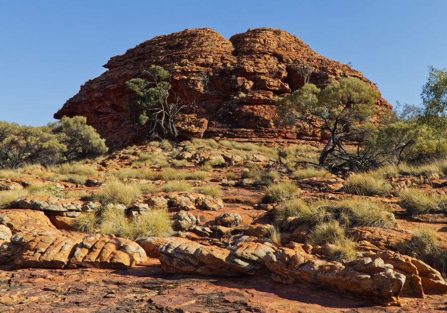
- Duration
- 1 day in Watarrka, about 50 km by car (≈ 8 h 10 min: moving and stop time only)
- Who it suits
- Adults
- Transport
- drive, walk
- Start
- Kings Canyon Resort
- Finish
- Kings Creek Station
- Pace
- active day
- Best time
- April–September; on 36°C days the Rim Walk must start before 9:00
- Budget per adult
- NT Parks Visitor Pass A$10 per adult for a dayPrices as of: October 2026
Getting there
Kings Canyon is 450 km from Alice Springs and about 300 km from Yulara. From Yulara it is sealed all the way: the Lasseter Highway and Luritja Road. Entry needs an NT Parks Visitor Pass (online only): A$10 per adult for a day, A$20 for 3 days. NT residents pay nothing.
Stops in order
The text version of the route: stops, time at each and the legs between them. Times are estimates, without queues, traffic or swims.
1. Kings Canyon Resort~15 min at the stop
The closest bed to the canyon: rooms, camping and bunkhouses. Camping inside the national park is not allowed.
Tip: Reception also sells the Mereenie Loop Pass if you continue towards the West MacDonnells.
Open on the map ↗↓ drive · 10 min · 10 km
2. Kings Canyon Rim Walk~3 h 30 min at the stop
A 6 km loop, 3–4 hours, Grade 4: a steep climb, then the rim above 100 m walls, with the Garden of Eden rockhole halfway.
Worth knowing: The finale of The Adventures of Priscilla, Queen of the Desert (1994) was written for Uluru, but a climb in drag there would have offended Anangu beliefs, so the scene was shot at Kings Canyon instead.
Tip: Walk clockwise only, following blue arrows. When 36°C or more is forecast nobody may start after 9:00; there is no swimming in the Garden of Eden.
Open on the map ↗↓ walk · 5 min · 0.2 km
3. Kings Creek Walk~1 h at the stop
An easy walk along the canyon floor: 2.6 km return, about an hour, good for families.
Tip: Wear sturdy shoes: the creek bed is rocky.
Open on the map ↗↓ drive · 20 min · 21 km
4. Kathleen Springs~1 h 30 min at the stop
A sealed 2.4 km return path to a spring at the head of the gorge, with signs on Aboriginal culture and the cattle era.
Worth knowing: The spring lies about 21 km south-east of Kings Canyon. The park's name, Watarrka, is the Luritja word for the local umbrella bush, an acacia.
Tip: The path suits wheelchairs and prams; swimming is not allowed, the waterhole is sacred.
Open on the map ↗↓ drive · 20 min · 20 km
5. Kings Creek Station~1 h at the stop
A working station on Luritja Road with camping and safari cabins, a stop on the way south.
Tip: It also sells the Mereenie Loop Pass and makes a fallback bed when Kings Canyon Resort is full.
Open on the map ↗
Before you go
- Route times are estimates: walking, driving and a sensible pause at each stop. Add queues, traffic and swims yourself.
- Prices, timetables and trail status change. Check the venue's official site and the state transport app before you go.
- On beaches, swim only between the red and yellow flags. Use sun protection even when it is cloudy.