- Duration
- a driving day, ~40 km from Hobart (≈ 2 h 33 min: moving and stop time only)
- Who it suits
- Everyone
- Transport
- drive
- Start
- Salmon Ponds
- Finish
- Pulpit Rock
- Pace
- relaxed pace
- Best time
- Arrive at opening: Salmon Ponds is open 10 am to 3 pm May to October and 9 am to 4 pm November to April. Closed Christmas Day
- Budget per adult
- Salmon Ponds: adult A$10, child 7 to 17 A$6, family A$25; everything else freePrices as of: July 2026; transport and zoo prices October 2026
Getting there
Drive up the Derwent and stop by the river.
Stops in order
The text version of the route: stops, time at each and the legs between them. Times are estimates, without queues, traffic or swims.
1. Salmon Ponds~1 h 10 min at the stop
The 1861 ponds where Australia's trout began. A garden, a museum and sometimes a platypus in the water. Come here first, because the day is short.
Worth knowing: The ponds date from about 1861, and in 1864 the first brown trout in the southern hemisphere hatched here from ova shipped from England. The museum cottage was built in 1865.
Tip: Paid entry; the Pancakes by the Ponds café runs 10 am to 3 pm. Platypus don't appear on cue: the far ponds are quietest.
Open on the map ↗↓ drive · 15 min · 12 km
2. New Norfolk esplanade~40 min at the stop
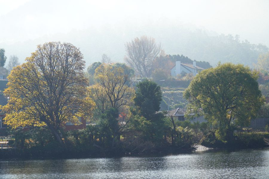
Willows along the Derwent in the old river town. After the ponds, this is a walk and a pie.
Tip: Friday to Sunday 11 am to 2 pm the Agrarian Kitchen kiosk at 11a The Avenue sells pastries, sandwiches and salads. Closed 23 October 2026 and 21 December to 1 January. On other days, try the bakeries on the main street.
Open on the map ↗↓ drive · 8 min · 3 km
3. Pulpit Rock~20 min at the stop
A short lookout above the valley. The river, the hops and the road back to Hobart are all below.
Tip: The drive up takes a few minutes. The platform is windy. Return to the city on the same road along the river.
Open on the map ↗
Before you go
- Route times are estimates: walking, driving and a sensible pause at each stop. Add queues, traffic and swims yourself.
- Prices, timetables and trail status change. Check the venue's official site and the state transport app before you go.
- On beaches, swim only between the red and yellow flags. Use sun protection even when it is cloudy.