- Duration
- 12 km, 3–4 h, ~210 m of climbing (≈ 6 h 50 min: moving and stop time only)
- Who it suits
- Everyone
- Transport
- walk
- Start
- Taronga Zoo Wharf, the start
- Finish
- Spit Bridge
- Pace
- active day
- Best time
- A weekday: Balmoral and Chowder Bay are packed at weekends. Start early in summer: Bradleys Head and Middle Head have exposed stretches. It is national park, so no dogs.
- Budget per adult
- free, plus the F2 ferry and a bus backPrices as of: July 2026; transport and zoo prices October 2026
Getting there
F2 ferry from Circular Quay to Taronga Zoo Wharf. Back by bus from the Spit Bridge to the city, North Sydney, Chatswood, Manly or the Northern Beaches. To shorten it, finish at Balmoral, which has buses too.
Stops in order
The text version of the route: stops, time at each and the legs between them. Times are estimates, without queues, traffic or swims.
1. Taronga Zoo Wharf, the start~5 min at the stop
From the wharf up Athol Wharf Road; opposite the old zoo entrance a red path drops to the Bradleys Head track. No zoo ticket needed.
Tip: Fill your water first: there is no café before Chowder Bay. The same stretch is in our walk Ferry to Taronga, the headland and Chowder Bay.
Open on the map ↗↓ walk · 25 min · 1.5 km
2. Bradleys Head~20 min at the stop
A headland with a small light, a warship's mast and maybe the best north-side view of the Bridge and Opera House.
Worth knowing: The mast on the point is from the cruiser HMAS Sydney, which put the German raider Emden out of action in 1914.
Tip: The end of the Bradleys Head wharf is closed after inspections found serious deterioration, and its future is undecided. Beyond, the track enters the bush around Taylors Bay: narrow and rooty.
Open on the map ↗↓ walk · 45 min · 2.5 km
3. Clifton Gardens and Chowder Bay~45 min at the stop
A beach with a netted swim area and a jetty, then the gate into the old Submarine Miners depot with cafés in the heritage buildings.
Tip: Swim inside the net at Clifton Gardens, with a covered playground by the sand. Lunch at Ripples Chowder Bay: weekdays from 12:00, weekends from 11:30; no wheelchair access.
Open on the map ↗↓ walk · 25 min · 1.2 km
4. Georges Head~15 min at the stop
A climb to the old Georges Head battery with its gun pits and tunnels, and a lookout at the end of the path facing the harbour mouth between North and South Head.
Tip: Don't miss Georges Head Lookout on the right at the end of the path. Military structures here and at Middle Head are under repair in 2026, so expect minor detours. Next comes a boardwalk through the bush along Middle Head Road.
Open on the map ↗↓ walk · 35 min · 2 km
5. Middle Head forts~30 min at the stop
19th-century batteries and tunnels on the headland. The route loops the clearing and comes back by the Inner Middle Head Forts track.
Tip: The fort is worth exploring, and kids love the tunnels. Repairs on the outer forts are due to finish in October 2026, so expect small detours. Little shade.
Open on the map ↗↓ walk · 35 min · 2.2 km
6. Balmoral Beach~50 min at the stop
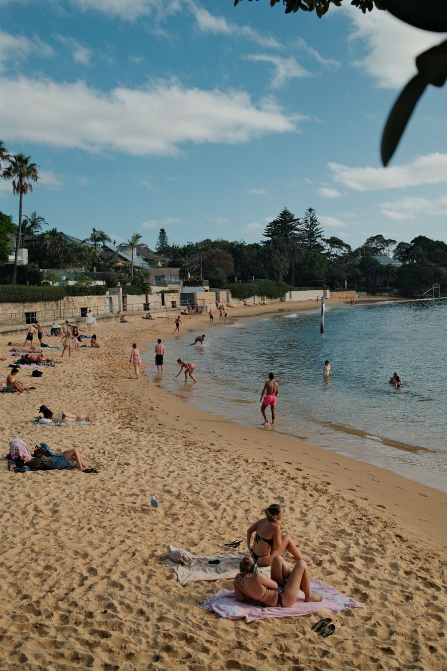
A long staircase down into Balmoral Park, then the esplanade with cafés, the pavilion and the footbridge to Rocky Point island. The calmest beach on the route: the harbour water stays quiet even on a windy day.
Worth knowing: In 1923–1924 Theosophists built the Star Amphitheatre on the Balmoral shore for talks by Jiddu Krishnamurti, whom they awaited as the 'World Teacher'. It was demolished in 1951.
Tip: The main swim of the day in calm water, no lifeguards. The Bathers' Pavilion kiosk at 4 The Esplanade is open daily 7:00 to 15:00. More in our walk Balmoral, then the quiet bay over the hill.
Open on the map ↗↓ walk · 25 min · 1.3 km
7. Chinamans Beach~20 min at the stop
From the north end of Balmoral a bush track climbs the hill, then a lane drops to quiet Chinamans Beach with its playground.
Worth knowing: The beach name is recorded from the 19th century, when Chinese fishermen worked this side of Middle Harbour.
Tip: Take the bush track, not the concrete path by the outlet. No lifeguards. Steep stairs over Parriwi Head follow.
Open on the map ↗↓ walk · 25 min · 1.3 km
8. Spit Bridge~10 min at the stop
Along Parriwi Road past the shops and Marine Rescue to the Spit Bridge, which the route crosses on foot. The end of part 5.
Tip: Buses both ways at the bridge. The Spit has cafés and restaurants by the marina for a bite before the ride.
Open on the map ↗
Before you go
- Route times are estimates: walking, driving and a sensible pause at each stop. Add queues, traffic and swims yourself.
- Prices, timetables and trail status change. Check the venue's official site and the state transport app before you go.
- On beaches, swim only between the red and yellow flags. Use sun protection even when it is cloudy.