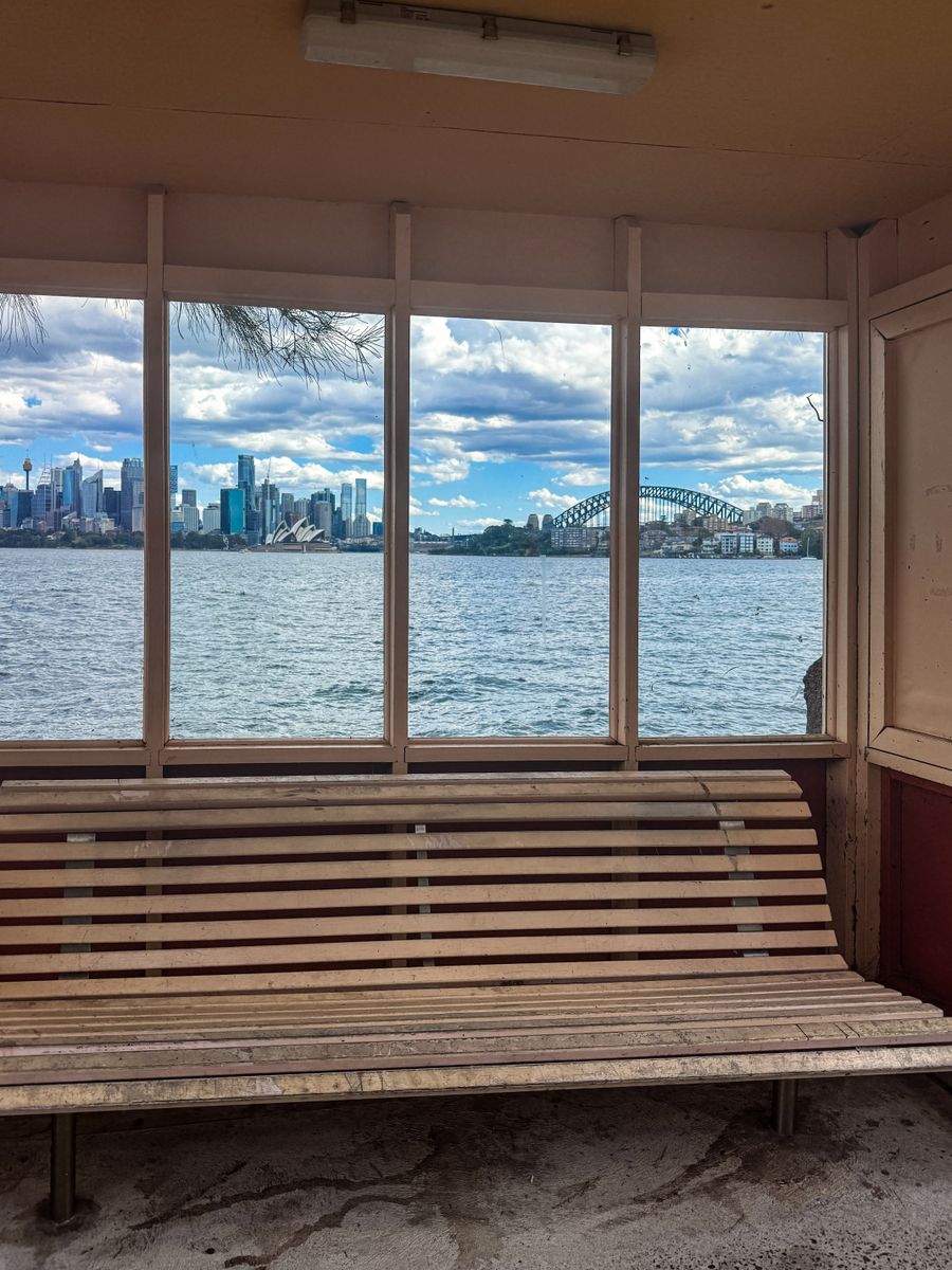
- Duration
- 14.5 km, 4–5 h, ~280 m of climbing (≈ 7 h 7 min: moving and stop time only)
- Who it suits
- Everyone
- Transport
- walk
- Start
- Circular Quay and The Rocks
- Finish
- Taronga Zoo Wharf
- Pace
- active day
- Best time
- A Wednesday to Friday morning, to catch Nutcote (Wednesday to Sunday, 11:00 to 15:00) and miss the weekend crowds. A long section with lots of stairs in Mosman.
- Budget per adult
- free, the Bridge walkway included; Nutcote charges entry, F2 ferry backPrices as of: July 2026; transport and zoo prices October 2026
Getting there
Train, bus or ferry to Circular Quay. Back on the F2 ferry from Taronga Zoo Wharf to Circular Quay. Bail-out wharves on the way: Neutral Bay (F5), Cremorne Point and Mosman Bay (F6).
Stops in order
The text version of the route: stops, time at each and the legs between them. Times are estimates, without queues, traffic or swims.
1. Circular Quay and The Rocks~10 min at the stop
Along the west side of Sydney Cove past the MCA and the cruise terminal, through Dawes Point Reserve under the Bridge and up the old stairs to Cumberland Street.
Tip: If a cruise ship is in, go round the terminal by the road on the left. The Bridge stairs are signed Cahill Walk near the Glenmore Hotel.
Open on the map ↗↓ walk · 45 min · 3 km
2. Harbour Bridge and Milsons Point~15 min at the stop
The free eastern walkway over the Bridge with the Opera House view, then the stairs down to Kirribilli and Bradfield Park under the span.
Worth knowing: The Sydney Harbour Bridge opened on 19 March 1932.
Tip: The best view is mid-span. At Milsons Point the walk's whale waymark is set into the paving, a good photo.
Open on the map ↗↓ walk · 20 min · 1.3 km
3. Lady Gowrie Lookout, Kirribilli~10 min at the stop
The route passes the gates of Admiralty House and Kirribilli House. The lookout at the end of Kirribilli Avenue faces the Opera House head on.
Worth knowing: Admiralty House is the Governor-General's Sydney residence, and Kirribilli House the Prime Minister's.
Tip: A small lookout, quiet even on weekends. Get coffee in Kirribilli or Milsons Point before you reach it.
Open on the map ↗↓ walk · 35 min · 1.9 km
4. Sub Base Platypus~20 min at the stop
A former torpedo factory, gasworks and submarine base, now an open waterfront park with stairs, decks and views.
Worth knowing: From 1967 to 1999 this was HMAS Platypus, home of the Oberon-class submarines.
Tip: Toilets near the Retort House and the Torpedo Factory. Oberon Park has a naval-themed playground. On weekdays the Munch food truck usually parks by the Retort House from about 11:00. A steep metal stair leads up out of the park.
Open on the map ↗↓ walk · 30 min · 1.6 km
5. Nutcote, May Gibbs' home~45 min at the stop
Past Neutral Bay Wharf to Wallaringa Avenue: the house museum of the author of Snugglepot and Cuddlepie, with a garden over the harbour.
Worth knowing: May Gibbs lived at Nutcote from 1925 until her death in 1969.
Tip: Open Wednesday to Sunday 11am to 3pm, closed Monday, Tuesday and public holidays. Last entry around 2:15 to 2:30pm. Adult A$17.50, concession A$16, child up to 14 A$9, family A$50, including a house tour and the garden. High tea must be pre-booked.
Open on the map ↗↓ walk · 20 min · 1.2 km
6. MacCallum Pool~30 min at the stop
Through the arch into the Cremorne Reservation the foreshore walk circles Cremorne Point. First comes free MacCallum Pool with its timber deck.
Tip: Once a week the pool closes for cleaning; the day follows the tide and is posted by North Sydney Council. A great mid-walk swim on a long day.
Open on the map ↗↓ walk · 12 min · 0.8 km
7. Robertsons Point light~20 min at the stop
A working light at the tip with views of the Bridge, the city and the ferries. The route reaches the end and doubles back.
Tip: A good picnic spot on the grass. More on the point in our walk Cremorne Point: the light and the local pool. Next the path follows Mosman Bay, where the Mosman Rowers club has a waterside café.
Open on the map ↗↓ walk · 55 min · 3 km
8. Sirius Cove~20 min at the stop
After the Mosman Bay stairs (Herron Walk and Upper Raglan Street) the track drops to a quiet cove with a beach and a lawn.
Tip: The hardest stairs of the day are behind you. No lifeguards, calm water. The foreshore track from Whiting Beach to Taronga Zoo Wharf is closed until about late 2027 while the Sky Safari station is rebuilt, so a road detour follows.
Open on the map ↗↓ walk · 30 min · 1.7 km
9. Taronga Zoo Wharf~10 min at the stop
The detour: from Sirius Cove turn left up Whiting Beach Road, loop around the top of the zoo, turn right into Bradleys Head Road and keep straight down to Athol Hall, where you rejoin the walk by the wharf. End of part four.
Tip: The detour climbs on roads and is longer and steeper than the old track. Check the current map on bonditomanly.com under temporary route changes.
Open on the map ↗
Before you go
- Route times are estimates: walking, driving and a sensible pause at each stop. Add queues, traffic and swims yourself.
- Prices, timetables and trail status change. Check the venue's official site and the state transport app before you go.
- On beaches, swim only between the red and yellow flags. Use sun protection even when it is cloudy.