- Duration
- 3 km on foot after the ferry, ~3 h (≈ 1 h 50 min: moving and stop time only)
- Who it suits
- Everyone
- Transport
- walk
- Start
- Gem Pier
- Finish
- Point Gellibrand
- Pace
- relaxed pace
- Best time
- after midday, so the light hits the tower
- Budget per adult
- a ferry ticket, the park is freePrices as of: July 2026; transport and zoo prices October 2026
Getting there
The Melbourne River Cruises ferry runs from Southbank Promenade to Gem Pier in just under an hour. It's a private service: buy the ticket online separately; myki and PTV card fares don't apply. Check the timetable that morning.
Stops in order
The text version of the route: stops, time at each and the legs between them. Times are estimates, without queues, traffic or swims.
1. Gem Pier~25 min at the stop
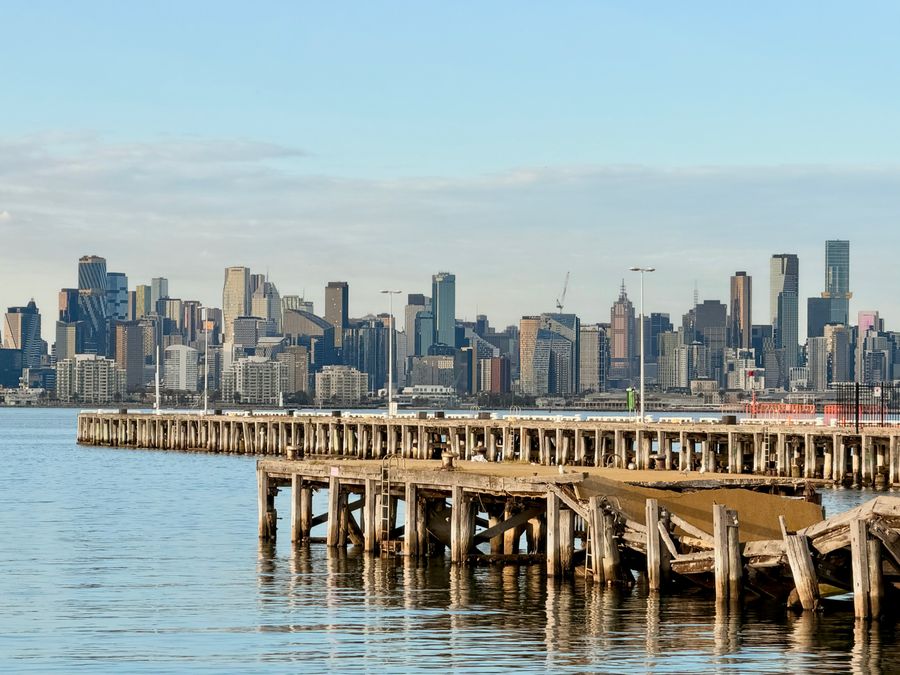
The pier the city ferry uses. The minesweeper HMAS Castlemaine is moored alongside. Past it the shore goes quiet.
Tip: The ship museum is optional. The walk needs no ticket. Check the ferry timetable that morning.
Open on the map ↗↓ walk · 15 min · 1 km
2. Timeball Tower~20 min at the stop
The stone tower ships once set their clocks by. You cannot go inside. The ground and the city view are the stop.
Worth knowing: The bluestone tower was built in 1849–1850 as a lighthouse; from the 1860s it served as a time-ball tower for ships' chronometers. In 1934 it was extended and relit as a lighthouse, working until 1987.
Tip: The ball no longer drops at 1pm. See the tower from the outside and keep walking into the park.
Open on the map ↗↓ walk · 10 min · 0.5 km
3. Point Gellibrand~40 min at the stop
The point early Melbourne was measured from. A shore path, a picnic ground and rocks at the water. The Bay Trail bike path runs through.
Tip: The park is free. The car park gate can shut in the evening, so the ferry is the calmer way in.
Open on the map ↗
Before you go
- Route times are estimates: walking, driving and a sensible pause at each stop. Add queues, traffic and swims yourself.
- Prices, timetables and trail status change. Check the venue's official site and the state transport app before you go.
- On beaches, swim only between the red and yellow flags. Use sun protection even when it is cloudy.