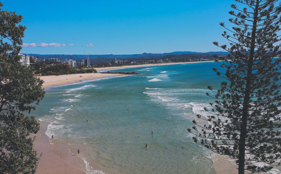
- Duration
- 3 km on foot, ~3 h (≈ 2 h 15 min: moving and stop time only)
- Who it suits
- Everyone
- Transport
- walk
- Start
- Snapper Rocks
- Finish
- Kirra
- Pace
- relaxed pace
- Best time
- morning, while the flags are up
- Budget per adult
- freePrices as of: July 2026; transport and zoo prices October 2026
Getting there
G:link tram to the Burleigh Heads terminus, then a Translink bus along the Gold Coast Highway to Coolangatta and on foot around the point. There is no train to Coolangatta. 50 cents a trip.
Stops in order
The text version of the route: stops, time at each and the legs between them. Times are estimates, without queues, traffic or swims.
1. Snapper Rocks~20 min at the stop
The point that shows the wave and the start of the bay. A lookout for a visit when you are staying out of the water here.
Worth knowing: The rocks were probably named by the captain of the cutter Snapper, which passed Point Danger in July 1822. Today they start the man-made Superbank, built by sand pumped north from the Tweed River mouth.
Tip: There are no flags on the point. The swim is the next stop.
Open on the map ↗↓ walk · 12 min · 0.9 km
2. Greenmount Beach~40 min at the stop
The sheltered beach just past the point. The flags are here, and this is the swim after Snapper.
Tip: Only between the red and yellow flags. Lifeguards are usually on from the morning through the afternoon.
Open on the map ↗↓ walk · 8 min · 0.5 km
3. Coolangatta~25 min at the stop
The town beach by the surf club. A second flagged stretch if Greenmount is already crowded.
Tip: Cafes on Marine Parade. Kirra is another ten minutes along the wall.
Open on the map ↗↓ walk · 10 min · 0.7 km
4. Kirra~20 min at the stop
The beach and groyne where this stretch of coast ends. From here a bus along the Gold Coast Highway takes you back north along the coast.
Tip: The wave at the groyne is for people who already know it. Everyone else uses the flags back at Coolangatta.
Open on the map ↗
Before you go
- Route times are estimates: walking, driving and a sensible pause at each stop. Add queues, traffic and swims yourself.
- Prices, timetables and trail status change. Check the venue's official site and the state transport app before you go.
- On beaches, swim only between the red and yellow flags. Use sun protection even when it is cloudy.