- Duration
- 4 km along the beach, ~3.5 h (≈ 2 h 5 min: moving and stop time only)
- Who it suits
- Everyone
- Transport
- walk
- Start
- Palm Beach
- Finish
- Elephant Rock
- Pace
- moderate pace
- Best time
- morning, while the tower is staffed
- Budget per adult
- freePrices as of: July 2026; transport and zoo prices October 2026
Getting there
Bus or tram toward Palm Beach, then on foot. 50 cents.
Stops in order
The text version of the route: stops, time at each and the legs between them. Times are estimates, without queues, traffic or swims.
1. Palm Beach~30 min at the stop
The long local beach between Burleigh and the Currumbin mouth. Start at the club, where the flags are.
Tip: Swim only between the red and yellow flags. Lifeguards are on from 8am to 5pm.
Open on the map ↗↓ walk · 20 min · 1.6 km
2. Currumbin Alley~25 min at the stop
The creek mouth, where locals surf and small boats head out. It is worth watching. It is the wrong place to swim.
Tip: A tower watches the water, and there is no flagged swim area. The nearest flags are at Currumbin Beach, toward the rock.
Open on the map ↗↓ walk · 15 min · 1 km
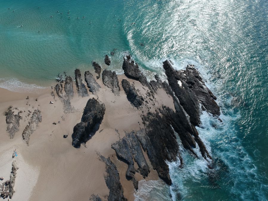
3. Elephant Rock~35 min at the stop
Stairs up the rock, and the beach under it. From the platform you see both ends of the coast. Below is an ordinary flagged beach.
Worth knowing: The rock is a basalt remnant on Currumbin beach, worn into an elephant-like head. It comes from the same lava flow as the Fingal columns.
Tip: Swim at the Currumbin tower. On the rock, use the rail. The steps are slick after rain.
Open on the map ↗
Before you go
- Route times are estimates: walking, driving and a sensible pause at each stop. Add queues, traffic and swims yourself.
- Prices, timetables and trail status change. Check the venue's official site and the state transport app before you go.
- On beaches, swim only between the red and yellow flags. Use sun protection even when it is cloudy.