- Duration
- about an hour on foot up to the lighthouse and back (≈ 2 h 7 min: moving and stop time only)
- Who it suits
- Everyone
- Transport
- walk
- Start
- The Pass
- Finish
- Cape Byron Lighthouse
- Pace
- moderate pace
- Best time
- morning: the lighthouse car park allows one hour only
- Budget per adult
- The Pass parking A$5 per hourPrices as of: 13 October 2026
Getting there
Park at The Pass on Brooke Drive: A$5 per vehicle per hour, tap and pay. Walk up to the lighthouse. The lighthouse lawn car park is A$10 per hour and capped at one hour per vehicle per day. An NPWS annual pass does not lift that cap. A shuttle from Ballina Byron Gateway is about 35 minutes.
Stops in order
The text version of the route: stops, time at each and the legs between them. Times are estimates, without queues, traffic or swims.
1. The Pass~30 min at the stop
The beach at the start of the Walgun Cape Byron track. The full loop takes 1 to 3 hours and can start at Captain Cook Lookout, The Pass, Wategos or the lighthouse itself.
Tip: Leave the car here. The Pass, Bawaii and Cosy Corner are A$5 per hour. The lighthouse is dearer and limited to one hour.
Open on the map ↗↓ walk · 12 min · 0.7 km
2. Wategos Beach~25 min at the stop
The last beach before the cape, directly under the lighthouse. From here the track climbs the grass headland.
Tip: Swim only when the water is calm and you can see a patrol. Otherwise stay on the sand and continue to the lighthouse.
Open on the map ↗↓ walk · 20 min · 0.6 km
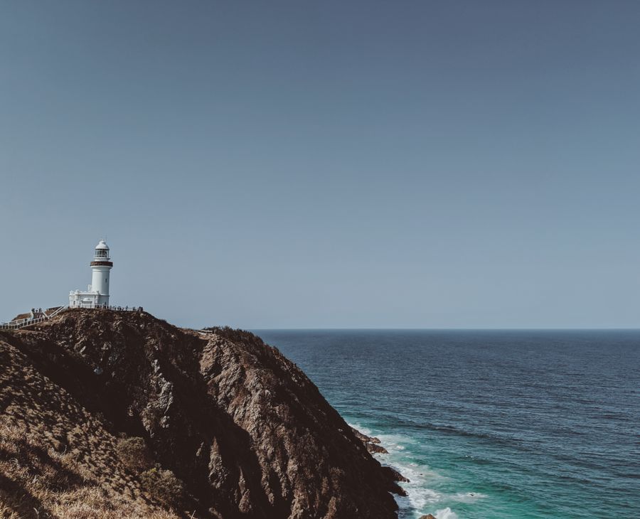
3. Cape Byron Lighthouse~40 min at the stop
The most easterly point of the Australian mainland. The lawn is open from 8:00am to sunset. The maritime museum in the old keeper's cottage is open daily from 10:00am to 4:00pm. The information centre is at 199 Lighthouse Road, daily 9:30am to 4:30pm, closed Christmas Day, phone 02 6639 8300.
Worth knowing: Lawson Street becomes Lighthouse Road. The track runs through rainforest, beach, grassland and the cliff edge.
Tip: The lighthouse café is closed while NPWS reviews the site, so bring water and a snack. Julian Rocks is visible from the cape: it's a marine reserve and landing is not allowed. Whales pass May to November.
Open on the map ↗
Before you go
- Route times are estimates: walking, driving and a sensible pause at each stop. Add queues, traffic and swims yourself.
- Prices, timetables and trail status change. Check the venue's official site and the state transport app before you go.
- On beaches, swim only between the red and yellow flags. Use sun protection even when it is cloudy.