- Duration
- 1 day, SeaLink ferry + ~60 km on the island (≈ 6 h 21 min: moving and stop time only)
- Who it suits
- With kids
- Transport
- ferry, drive
- Start
- Toondah Harbour terminal, Cleveland
- Finish
- Dunwich: sunset ferry home
- Pace
- relaxed pace
- Best time
- June–November: humpback whales pass within sight of the North Gorge walk
- Budget per adult
- SeaLink ferry fares are dynamic. Book ahead online; the beaches and walks are freePrices as of: July 2026; transport and zoo prices October 2026
Getting there
Ferry from Toondah Harbour in Cleveland. Book a car space ahead. The island bus meets the passenger ferry.
Stops in order
The text version of the route: stops, time at each and the legs between them. Times are estimates, without queues, traffic or swims.
1. Toondah Harbour terminal, Cleveland~20 min at the stop
SeaLink ferries leave here for the island: 25 min by passenger ferry, about 50 min by vehicle ferry, up to 14 return sailings daily.
Tip: With kids it's easiest to take the car across. Book a vehicle slot ahead, weekends sell out.
Open on the map ↗↓ ferry · 50 min · 12 km
2. Dunwich (Goompi)~20 min at the stop
The island's port and oldest settlement on Quandamooka country; cafes and a small history museum near the jetty.
Tip: No car? The island bus meets passenger ferries and runs to Point Lookout.
Open on the map ↗↓ drive · 20 min · 20 km
3. North Gorge Walk, Point Lookout~1 h at the stop
A 1.2 km boardwalk loop around the headland: surf booms through the gorge below, with turtles, dolphins and rays: and whales in winter.
Tip: Walk it clockwise and linger at the lookouts: kangaroos graze right beside the track.
Open on the map ↗↓ drive · 3 min · 1.4 km
4. Cylinder Beach~2 h at the stop
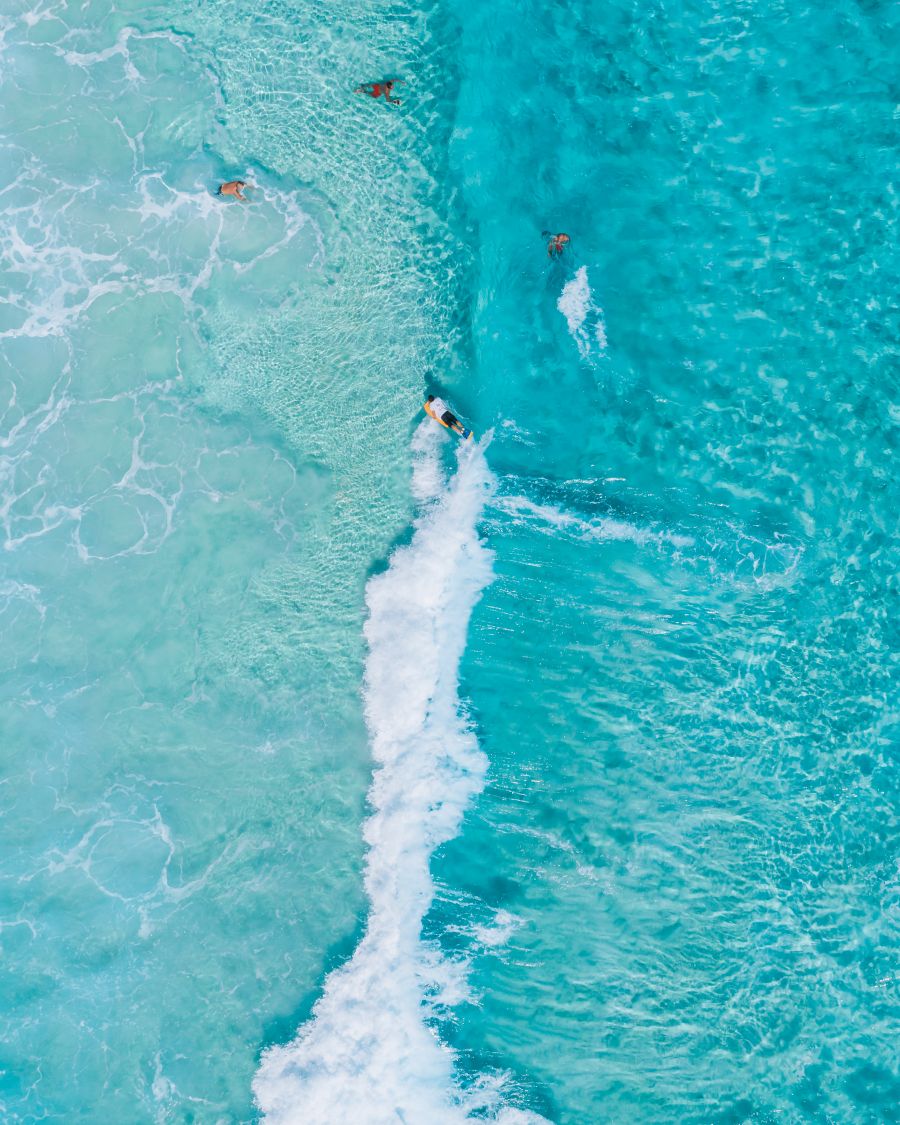
The island's family favourite: gentle surf, shade under the pandanus and lifesaver patrols in season.
Tip: Swim between the flags; parking, toilets and picnic spots are right behind the beach.
Open on the map ↗↓ drive · 13 min · 12 km
5. Amity Point~45 min at the stop
A sleepy village on the island's calm side: a jetty over the turquoise channel, pelicans and a netted swimming enclosure.
Tip: Rays sometimes cruise the shallows. Stand still and don't touch. Check your return ferry time from Dunwich in advance: you still need to drive back to the port from Amity.
Open on the map ↗↓ drive · 15 min · 14.5 km
6. Dunwich: sunset ferry home~15 min at the stop
The return crossing of Moreton Bay at sunset. Keep the camera out, the sun drops straight behind the mainland.
Tip: Check the SeaLink timetable ahead and be at the terminal twenty minutes early.
Open on the map ↗
Before you go
- Route times are estimates: walking, driving and a sensible pause at each stop. Add queues, traffic and swims yourself.
- Prices, timetables and trail status change. Check the venue's official site and the state transport app before you go.
- On beaches, swim only between the red and yellow flags. Use sun protection even when it is cloudy.