- Duration
- 2 days, ~210 km from Sydney by car
- Who it suits
- Everyone
- Transport
- drive, walk
- Start
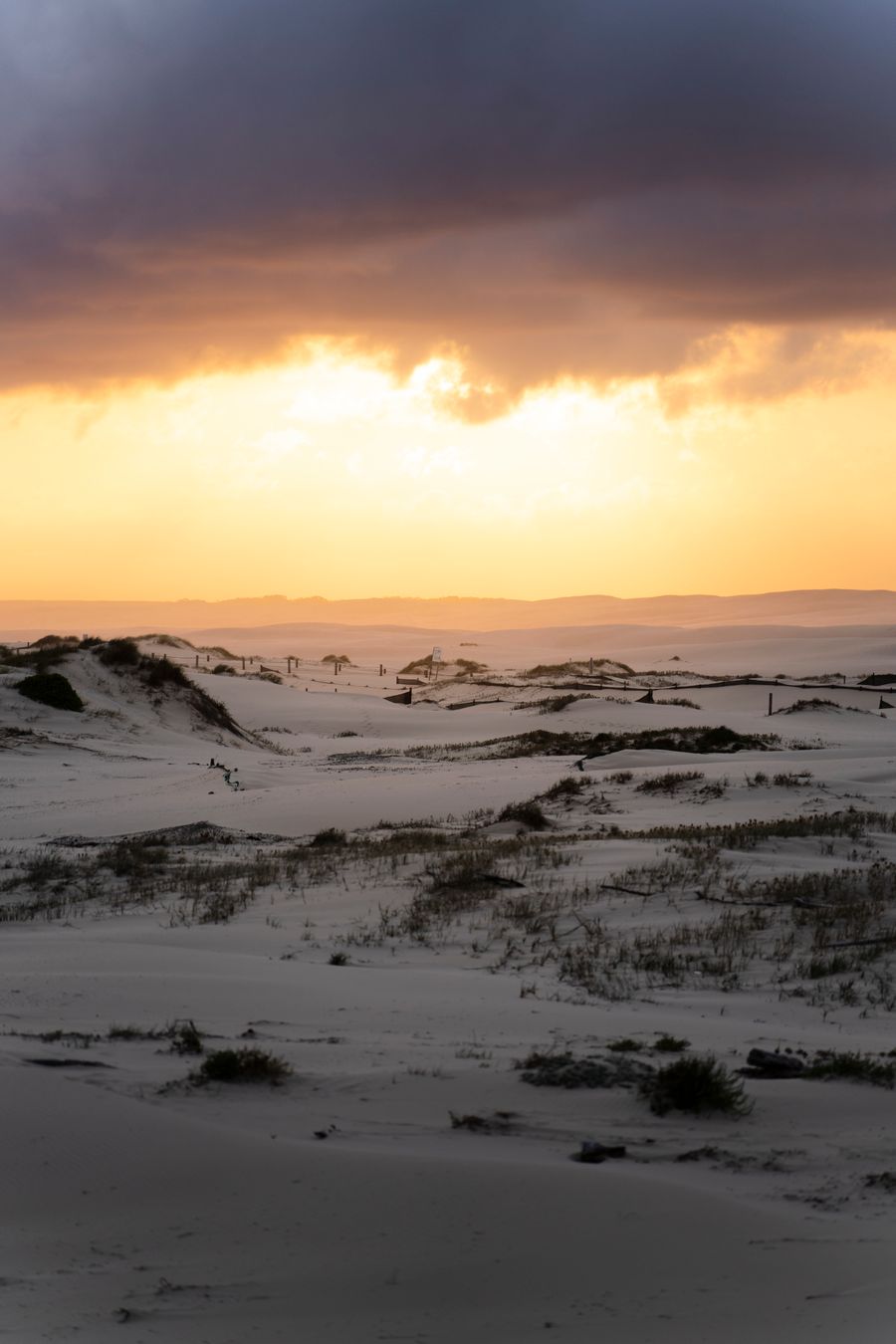
- Stockton dunes at Anna Bay
- Finish
- Fingal Bay
- Pace
- moderate pace
- Best time
- November–April for dolphins, May–November for whales
- Budget per adult
- sandboarding A$45, dolphin cruise A$50 (child A$30), the Tomaree track is freePrices as of: July 2026; transport and zoo prices October 2026
Getting there
A car is easiest: about 2.5 hours north of Sydney on the M1. Stay in Nelson Bay or Shoal Bay.
Stops in order
The text version of the route: stops, time at each and the legs between them. Times are estimates, without queues, traffic or swims.
Day 1: dunes and dolphins
Day in Google Maps ↗1. Stockton dunes at Anna Bay~1 h 30 min at the stop
The largest moving coastal dunes in the Southern Hemisphere. Port Stephens 4WD Tours drives you to the slopes and hands out boards.
Tip: Meet at the lower car park on James Paterson Street (Birubi Beach) by the concrete pyramids, 20 minutes early. Unlimited sandboarding, about an hour, is A$45, 10% off online with code FUN10. Parking is paid; if the lower lot is full, use Robinson Reserve.
Open on the map ↗↓ drive · 20 min · 15 km
2. D'Albora Marina, Nelson Bay~2 h at the stop
Dolphin cruises leave from here: about 100 bottlenose dolphins live in the bay year-round. Imagine Cruises sails a 1.5-hour trip daily from November to the end of April: adult A$50, child 4–14 A$30, family A$148.
Worth knowing: About 100 bottlenose dolphins live in Port Stephens year-round.
Tip: Dock C is the far right one as you face the bay. Bring swimwear for a ride in the boom net off the bow.
Open on the map ↗
Day 2: Tomaree and the beaches
Day in Google Maps ↗3. Tomaree Head summit~1 h 45 min at the stop
A steep 2.2 km return track (1.5 to 2 hours) with lots of steps. The north platform looks over Yacaaba Head and Cabbage Tree, Boondelbah and Broughton islands; the south one over Zenith, Wreck and Box beaches, Fingal Island and the Point Stephens lighthouse.
Worth knowing: Second World War gun emplacements survive on the way down.
Tip: Mornings are cooler and quieter. Steps get slippery after rain, so wear proper shoes and bring water and a hat. From May to November take binoculars for whales.
Open on the map ↗↓ walk · 10 min · 0.6 km
4. Zenith Beach~45 min at the stop
A beach between Tomaree Head and Stephens Peak in a marine park sanctuary zone: no collecting or fishing, but dolphins are often seen. There are no lifeguards and the rips are dangerous.
Tip: Don't swim here: the beach is unpatrolled and people have drowned. Enjoy it from above or from the sand and swim at Fingal Bay, the nearest patrolled beach. Car parks are at the end of Shoal Bay Road; arrive early in summer.
Open on the map ↗↓ drive · 10 min · 5 km
5. Fingal Bay~1 h at the stop
A sheltered bay with a long patrolled beach, picnic areas and a view of Fingal Island and its 1862 Point Stephens lighthouse. A calm place for a swim before driving back to Sydney.
Tip: Swim between the flags near the village. Never cross the sand spit to Fingal Island if there is any water over it: people have drowned. The only safe way to the island is a boat tour.
Open on the map ↗
Before you go
- Route times are estimates: walking, driving and a sensible pause at each stop. Add queues, traffic and swims yourself.
- Prices, timetables and trail status change. Check the venue's official site and the state transport app before you go.
- On beaches, swim only between the red and yellow flags. Use sun protection even when it is cloudy.