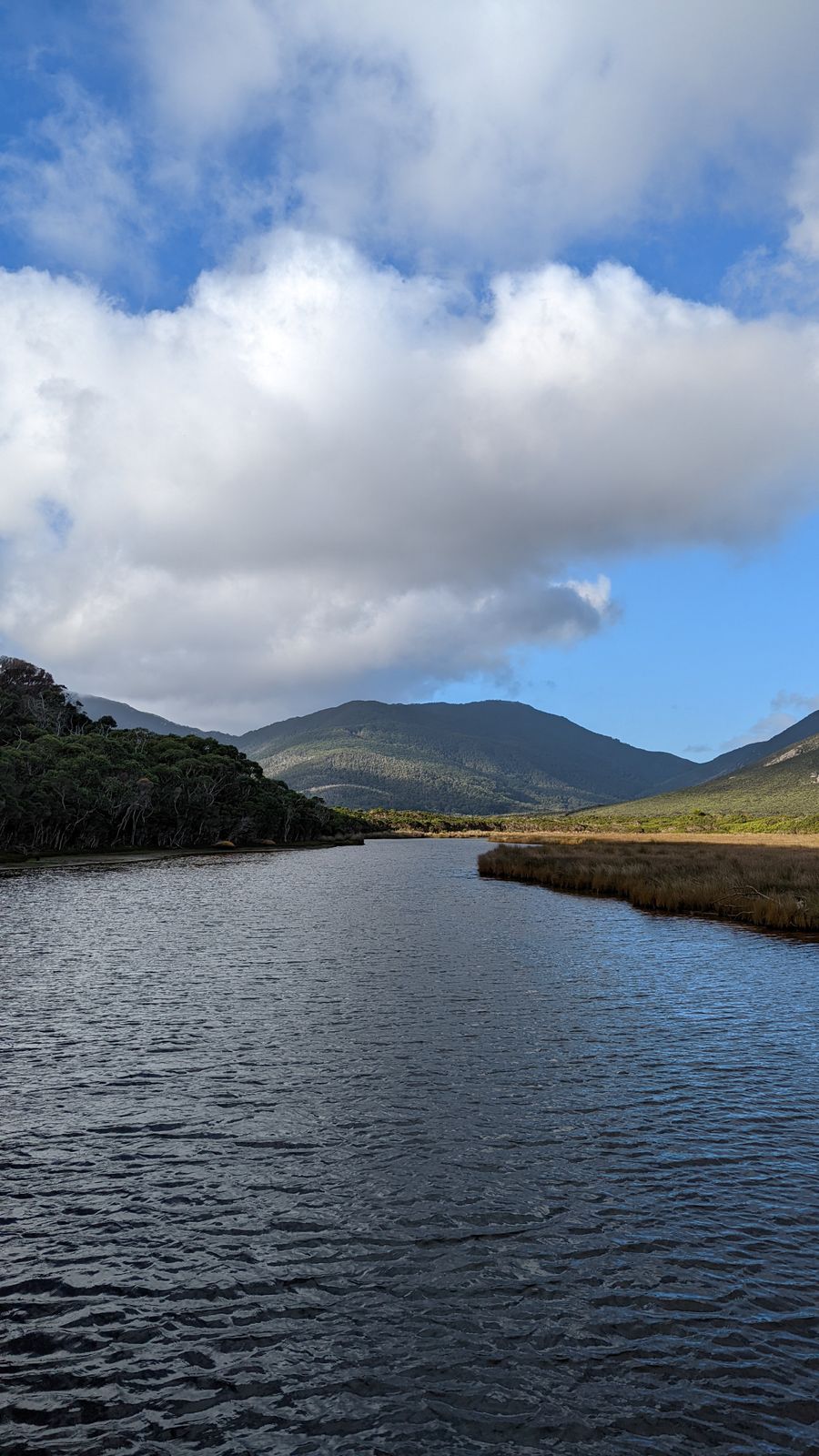
- Duration
- 2 days, ~3 hours from Melbourne by car
- Who it suits
- Everyone
- Transport
- drive, walk
- Start
- Squeaky Beach
- Finish
- Mount Oberon summit
- Pace
- moderate pace
- Best time
- spring and autumn; in summer and on holidays come on a weekday and before 10:00
- Budget per adult
- the walks and beaches need no ticket, you pay for a bed at Tidal River and fuelPrices as of: July 2026; transport and zoo prices October 2026
Getting there
Car only: Monash Freeway, South Gippsland Freeway to Meeniyan, then the C444 to the park gate. Tidal River is another 30 km. Until 20 November 2026 there are roadworks at the entrance with stop/go lights; allow extra time. No fuel at Tidal River; the nearest is Yanakie.
Stops in order
The text version of the route: stops, time at each and the legs between them. Times are estimates, without queues, traffic or swims.
Day 1: Squeaky Beach and Pillar Point
Day in Google Maps ↗1. Squeaky Beach~1 h at the stop
White squeaking sand between granite boulders. The park's most photographed beach.
Worth knowing: The sand squeaks because it is made of fine, rounded quartz grains. Wilsons Promontory has been protected as a national park since 1898 and ends at the southernmost point of mainland Australia.
Tip: Swimming is not advised: persistent rips and no lifeguards. In summer the car park fills early.
Open on the map ↗↓ drive · 8 min · 4 km
2. Tidal River and Norman Beach~2 h at the stop
The park's main base: the campground, cabins and Norman Beach a few minutes' walk away. Wombats and kangaroos come out on the lawns at dusk.
Tip: Book a bed through Parks Victoria well ahead. A booking allows at most two vehicles per site, and this is enforced.
Open on the map ↗↓ walk · 45 min · 1.8 km
3. Pillar Point~30 min at the stop
A granite point looking over the islands, Squeaky Beach, Norman Bay and Mount Oberon. The track is 3.6 km return, about 1.5 hours.
Tip: Start at the Tidal River footbridge, best towards sunset. The cliffs are unfenced, keep children close.
Open on the map ↗
Day 2: Whisky Bay and Mount Oberon
Day in Google Maps ↗4. Whisky Bay~45 min at the stop
A small cove with orange granite rocks just north of Squeaky Beach.
Tip: Mornings are almost empty. The beach is unpatrolled and waves surge over the rocks.
Open on the map ↗↓ drive · 15 min · 9 km
5. Telegraph Saddle~10 min at the stop
A saddle on the Tidal River road: car park, toilets and the start of the Mount Oberon track (6.8 km return, about two hours).
Tip: In peak periods the road is closed to cars and a free shuttle runs from Tidal River. There are toilets in the car park.
Open on the map ↗↓ walk · 1 h · 3.4 km
6. Mount Oberon summit~30 min at the stop
A full panorama of Tidal River, the coast and the islands. The track is 6.8 km return, about 2 hours.
Worth knowing: The summit looks over Wilsons Promontory, whose South Point (39°08′S) is the southernmost tip of mainland Australia. The area has been a national park since 1898.
Tip: The last 100 m is steep steps and wet granite is slippery. After the descent fill up at Yanakie, there is no fuel at Tidal River.
Open on the map ↗
Before you go
- Route times are estimates: walking, driving and a sensible pause at each stop. Add queues, traffic and swims yourself.
- Prices, timetables and trail status change. Check the venue's official site and the state transport app before you go.
- On beaches, swim only between the red and yellow flags. Use sun protection even when it is cloudy.